
A grey sky on a camera doesn't tell you much. Is that rain about to arrive, or has it just passed? The map can now show live rain radar on top of the cameras, so you can see where the showers are and which way your route is heading into them.
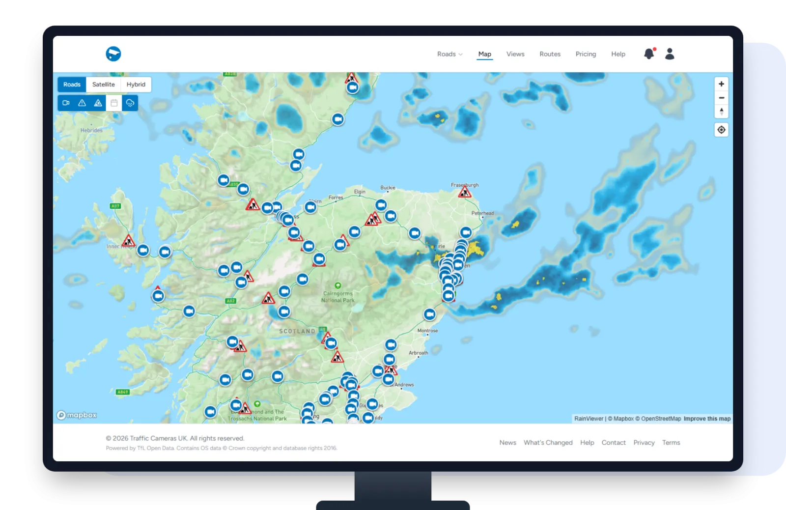
Turning the radar on
Open the map and look at the row of buttons in the top left corner. The last one, the cloud with rain falling from it, is the radar. Click or tap it and the rain fades in over the map. The button turns blue while the radar is on.
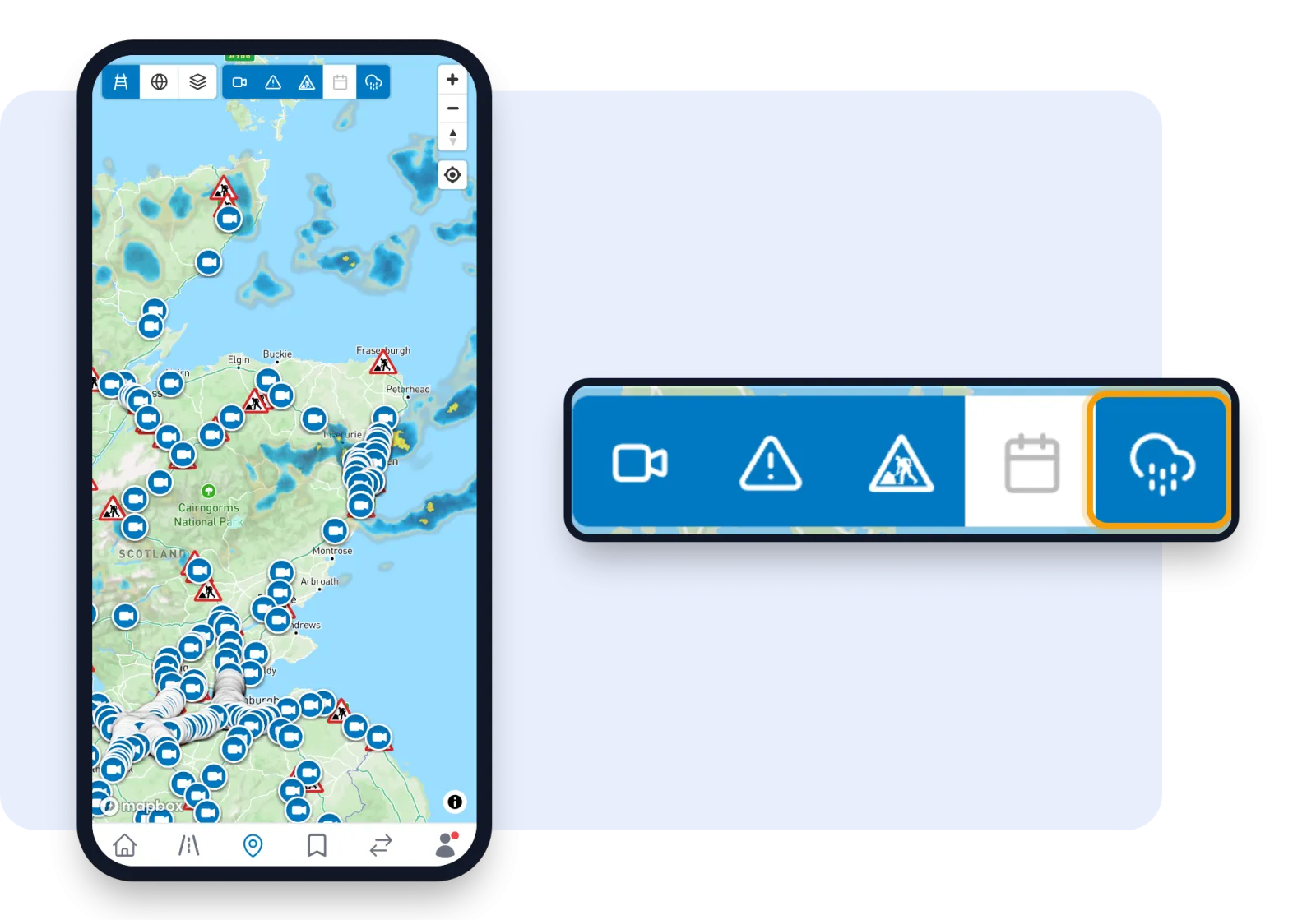
Reading the radar
- Light blue is light rain or drizzle.
- Darker blue is steady, heavier rain.
- Yellow patches are the heaviest bursts, the kind that throw up spray and slow traffic down.
The radar shows the latest picture, usually from the last 10 to 20 minutes. It doesn't update while the map is open, so reload the page for a fresh picture.
The radar shows from country level inwards. If you zoom right out to see the whole of Europe it hides, and comes back as soon as you zoom in again.
Turning it off
Click or tap the same button again and the radar disappears. The map always opens with the radar off, so it only shows when you want it.
Make the most of it
Use the radar to find the wet stretch of your journey, then click the cameras underneath it to see what the road actually looks like. Heavy rain on the radar plus spray and brake lights on the camera usually means slow going.
The map is free with an account. If you haven't got one yet, you can sign up in under a minute.